
Coastal Hazard News
Major Flooding Hits Bundaberg as Burnett River Peaks
MARCH 12 2026
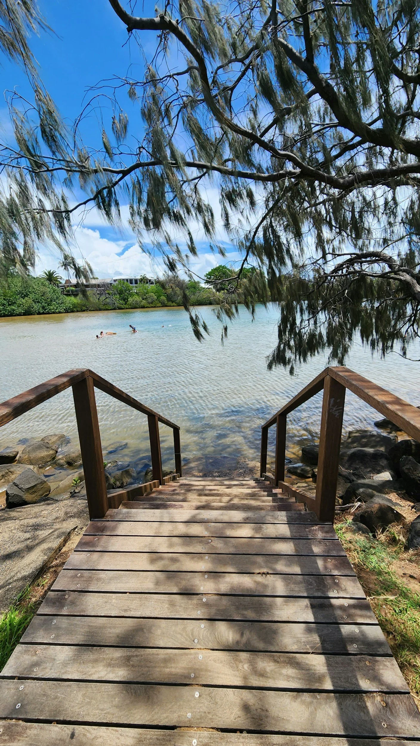
The Burnett River in Bundaberg peaked at 7.4 metres, inundating more than 200 homes and businesses before beginning to recede. Authorities warn it is still unsafe to return, with damage assessments ongoing. Meanwhile, inland towns like Chinchilla face worsening floods, with evacuation orders issued as Charleys Creek is forecast to peak at 6.8 metres.
Heaviest Outback Rain in Decades Forecast
FEBRUARY 21 2026
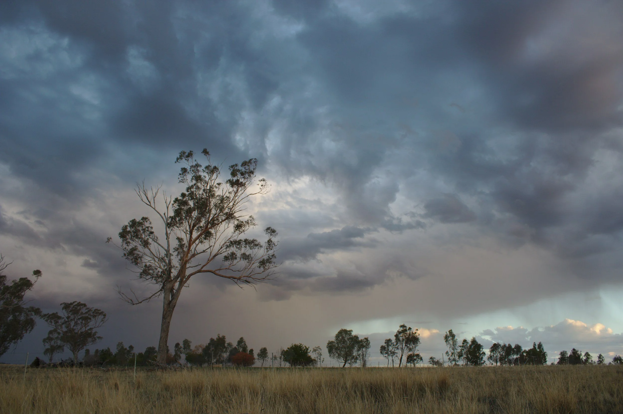
Australia’s outback is recording its wettest month in decades, with 100–200mm already falling and more rain forecast. A tropical low is expected to push heavy rainfall into South Australia, Victoria, and southern NSW, potentially delivering a year’s worth of rain in a week. While the downpour could ease drought conditions, authorities warn of flood risks across inland rivers and catchments.

Artificial Reefs Among Options in Robe’s Erosion Battle
JANUARY 16 2026
South Australia’s coastal town of Robe is exploring artificial reefs, dune planting, and sandbag installations to combat severe erosion at Fox and Hoopers beaches. Recent storms accelerated damage decades ahead of forecasts, threatening landmarks like the Robe obelisk. Experts warn that while reefs can reduce wave energy and boost eco-tourism, Robe’s small beaches pose challenges, making sandbags and dune restoration more immediate solutions.

Strong Swell Forecast to Batter Eastern Australia for Two Weeks
DECEMBER 04 2025
Eastern Australia is set to face recurring bursts of powerful swell over the next fortnight as tropical cyclone activity increases in the coral sea and southwest pacific. multiple forecast models show tropical lows and potential cyclones forming offshore, generating wave heights of 5–6 metres and hazardous surf along the coast. meteorologists say the active madden–julian oscillation is amplifying storm development, raising concerns for beach erosion, coastal safety, and unstable nearshore conditions.

Gold Coast Sand ‘Island’ Set to Wash Away by Christmas
NOVEMBER 30 2025
a temporary sand island off surfers paradise — created during a $35 million beach‑replenishment project — is expected to disappear by christmas as tides and swell redistribute the sand. engineers say the nearshore nourishment technique is accelerating natural recovery after cyclone alfred stripped millions of cubic metres of sand from the coast, but lifeguards warn the formation is hazardous due to strong currents drawing sightseers toward it. officials emphasise that while the island is short‑lived, the broader sand‑pumping effort is essential to protect tourism‑dependent beaches from ongoing erosion and storm impacts.

Australia Releases 1st National Climate Risk Assessment and Adaptation Plan
OCTOBER 5 2025
Australia's first national climate risk assessment warns that coastal communities face escalating threats from sea‑level rise, erosion, and more destructive storm events, identifying these hazards as priority national risks. the accompanying national adaptation plan outlines a coordinated framework for governments to strengthen resilience, including improved coastal planning, infrastructure upgrades, and long‑term retreat strategies where necessary. officials emphasize that without rapid emissions reductions and sustained adaptation investment, climate impacts on Australia's coastlines will intensify and become increasingly costly to manage.

Queensland Communities Flagged as High‑Risk in New Climate Assessment
SEPTEMBER 16 2025
A national climate risk assessment has identified large sections of Queensland’s coastline as highly vulnerable, with rising seas and intensifying storms placing thousands of homes in danger. Low‑lying communities already facing erosion and repeated flooding are expected to see escalating damage as insurance pressures mount and adaptation costs rise. While temporary protections like seawalls and elevation works offer short‑term relief, officials warn that long‑term retreat may become unavoidable for some coastal towns as sea‑level rise accelerates.

Great Barrier Reef Suffers Record Bleaching as Ocean Heat Surges
AUGUST 06 2025
Australia’s great barrier reef has recorded its most widespread bleaching event ever, driven by extreme ocean heat in 2024. government surveys show coral cover in the south dropped by nearly one‑third, marking the largest single‑year decline in the 39‑year monitoring record. scientists warn that without major emissions cuts, mass bleaching will continue to intensify as oceans absorb record levels of heat.

Emergency Erosion Works Begin Ahead of Coastal Storm
JULY 07 2025
Urgent erosion repairs kicked off at Wamberal Beach on Tuesday, July 1, in anticipation of a powerful storm system expected to hit the NSW coast this week. Heavy machinery was deployed as part of emergency efforts coordinated by Central Coast Council and local authorities, targeting six beachfront homes amid growing frustration from excluded residents. Experts and locals continue to debate whether reactive fortification is the answer, with rising calls for long-term sand nourishment and proactive coastal resilience measures

Coastal Erosion Forces Mass Evacuations on Central Coast
JUL 02 2025
Severe coastal erosion triggered mass evacuations in Entrance North and Wamberal after a 4-meter swell pounded the Central Coast, placing dozens of beachfront homes at immediate risk. The destructive conditions were driven by a rare “bomb cyclone” storm system that also caused power outages for over 40,000 NSW residents. Authorities are urging coastal communities to remain on high alert as erosion hazards escalate, reigniting calls for long-term shoreline protection strategies over reactive emergency measures.

East Coast Weather Bomb to Bring Dangerous Storm Next Week
JUN 27 2025
A powerful winter storm is forecast to hit Australia's east coast next week, with meteorologists warning it could become the first East Coast Low in three years. The rapidly forming system—called a weather bomb—may bring torrential rain, gale-force winds, and giant waves from NSW to Queensland and Victoria.
With coastal areas at risk of flooding, power outages, and severe erosion, authorities are urging residents to stay alert. The exact path of the storm is still uncertain, but experts say the potential for damage is very real.

Lancelin’s Coastal Crisis: Popular Tourist Town at Risk of Being Swallowed by the Ocean
JUN 10 2025
The idyllic tourist town of Lancelin, located 125km north of Perth, is facing an existential threat as rapid coastal erosion inches closer to swallowing homes, businesses, and iconic landmarks. Locals are pleading for urgent government intervention, but experts warn it may already be too late to save this beloved seaside community.

Deceptively Calm Oceans Hide Deadly Risks, Experts Warn After Easter Drownings
May 11, 2025
Long-period swells create calm lulls that lure beachgoers into danger before sudden, powerful waves strike. Experts call for clearer warnings and public education to prevent further tragedies.

Rising Climate Risks Create Patchwork of Vulnerable and Resilient Communities
APR 14 2025
This article explores how climate change is unevenly affecting suburbs, making some unlivable from frequent disasters while others stay protected, reshaping Australia’s cities and leaving vulnerable areas battered and broken.

Cyclone Alfred's Fury Exposes Critical Coastal Risks Along Eastern Seaboard
MAR 10 2025
This piece highlights the severe impact of Cyclone Alfred on the NSW and QLD coastlines, especially in places like Byron Bay and Surfers Paradise, where the loss of sand buffers has increased risks for coastal communities.

North Queensland Braces for More Severe Weather as Insurance Claims Surge
Feb 7 2025
North Queensland is being hit by severe weather bringing over 200mm of rain to flood-affected areas, causing widespread damage, evacuations, thousands of insurance claims, and prompting an $8 million relief fund alongside urgent warnings for residents.

A Failure on an Ancient Sea Cliff Destroyed a Large House, Injuring One Person
JAN 15 2025
A dramatic landslide on 14 January 2025 in McCrae, Victoria, caused a large home to collapse and injured a council worker who narrowly escaped, raising concerns for nearby cliffside properties amid limited landslide insurance coverage in Australia.

Sea Level Rise Threatens NSW Coastline and Communities
DEC 05 2024
Rising sea levels threaten coastal NSW with flooding, erosion, and possible submersion—putting homes, ecosystems, and infrastructure at risk—prompting the government to call for urgent adaptation through planning, restoration, and education.

Sunshine Coast Council Progresses Coastal Hazard Adaptation Planning
NOV 01 2024
The Sunshine Coast Council is planning long-term coastal protection for areas like Maroochydore, Mooloolaba, and Golden Beach to address rising sea levels and flooding, using 2024 community feedback to guide actions that build on the 2021 strategy and extend to 2100.

Statewide Consultation Workshops Seek Input on Coastal Hazard Challenges
SEPT 2 2024
LGA South Australia is hosting statewide workshops to gather council input on coastal hazards and draft adaptation guidelines under the SA Climate Ready Coasts program, which supports consistent planning for sea level rise and storms, with consultations open until 30 September.

Coastal Erosion Plan Endorsed
AUG 22 2024
The Council has approved the Coastal Hazard Risk Management and Adaptation Plan (CHRMAP), which recommends beach nourishment for Hopetoun, and will proceed with implementation in collaboration with stakeholders after community feedback and no objections during the public comment period.

New National Coastal Hazard Warning System Launched
JULY 8 2024
A team of UNSW engineers has developed a world-first coastal hazard early warning system that predicts beach erosion and flooding from storms, offering localized forecasts every 100 meters to help coastal managers and emergency agencies prepare in near real time.

Seven Key Priorities Identified to Future-Proof SA’s Coastline
JUNE 5 2024
The Council has approved the CHRMAP to address future coastal risks, recommending beach nourishment for high-risk areas like Hopetoun, and will move into implementation with support from partners like Water Technology and the Department of Planning.

Coastal Homeowners Face Rising Insurance and Growing Climate Risks
MAY 21 2024
Coastal homeowners in Australia are facing rising insurance premiums due to increased storms, floods, and erosion, with experts calling for stronger planning rules and government action as 230,000 properties are at significant risk.

Unprecedented Queensland Floods Cover Area Larger Than Texas
APR 6 2024
Insurance costs for coastal homeowners in Australia are rising due to more frequent storms, floods, and erosion, with 230,000 properties at high risk, prompting experts to call for stronger planning and protection strategies, while demand for waterfront properties remains strong despite growing awareness of the risks.

Tropical Cyclone Alfred to Make Rare Landfall in Southeast Queensland
MAR 4 2024
Tropical Cyclone Alfred, a Category 2 system with winds up to 130 km/h, is expected to hit between the Sunshine Coast and Gold Coast late Thursday or early Friday, bringing dangerous conditions and prompting authorities to urge residents to prepare.

SE 241: Valentine’s Day Storms Hit Victoria
FEB 14 2024
Severe storms on February 14, 2024, caused $235 million in damage across Victoria, with other major weather events like the 2023 Newcastle Hailstorm and River Murray Floods bringing combined damages over $800 million, highlighting the growing impact of extreme weather and the need for quick insurance responses.

Tropical Cyclone Jasper Recovery Underway Across North Queensland
DEC 13 2023
Tropical Cyclone Jasper made landfall near Wujal Wujal on 13 December 2023 as a Category 2 system, causing widespread flooding, power outages, and damage across 13 local government areas, with disaster recovery funding and ongoing support activated to assist individuals, farmers, businesses, and councils.

Flood Emergency Response in NSW and Victoria After Torrential Rain
NOV 29 2023
Heavy rainfall in NSW and Victoria has caused flash flooding, over 12 rescues, and more than 1,700 emergency calls, with Deniliquin cut off and parts of the South Coast inundated, while the Bureau of Meteorology warns of continued severe weather and evacuation alerts, keeping emergency services on high alert.

Multiple Disasters Threaten Australian Communities, Children at Risk
OCT 4 2023
Bushfires in NSW and Victoria have destroyed homes and forced evacuations, while authorities warn of potential flash floods in eastern Victoria and inland NSW, with Save the Children urging governments to prioritize child-focused disaster planning amid growing concerns over the mental health and safety of children during climate-driven emergencies.

Mackay Coast Adaptation Plan Moves Forward
SEPT 27 2023
Mackay Regional Council has endorsed the draft Mackay Coast – Our Future, Coastal Hazard Adaptation Study for public consultation, outlining strategies to manage erosion, flooding, and sea level rise while preserving local environments, and encourages residents to provide feedback online or at regional drop-in sessions.

Tuvalu Launches Cutting-Edge Coastal Hazard Modelling Tool to Combat Climate Impacts
JULY 24 2023
Tuvalu has launched a world-first online coastal hazard platform to monitor and manage climate risks across its nine islands, developed through the Tuvalu Coastal Adaptation Project with the Pacific Community (SPC), providing local decision-makers with vital data to plan resilient infrastructure, early warning systems, and long-term adaptation.

Avoca Beach: Australia's Most Ocean-Loving Town
March 18 2023
The Central Coast's Avoca Beach has claimed the title of Australia's most passionate ocean community, celebrating its deep coastal connection through the 10th annual Ocean Film Festival. This surfers' paradise combines golden beaches with strong eco-initiatives like Take 3 for the Sea, drawing record crowds to its conservation-focused cinema event.

Iconic Australian Beaches Face Accelerated Erosion as Climate Patterns Intensify
Feb 9 2023
Scientists warn that world-famous beaches along Australia's eastern seaboard – including Bondi and the Gold Coast – are experiencing unprecedented erosion due to back-to-back La Niña events, with cascading impacts on marine ecosystems and coastal infrastructure. The findings come from a University of Sydney-led study showing how altered wave patterns are reshaping tourist destinations and nesting habitats for endangered species like loggerhead turtles.

Australian Coastal Community Deploys AI and Nature-Based Defenses Against Rising Seas
Jan 15 2023
A suburban Australian coastline, where erosion has swallowed chunks of beach for decades, is piloting a high-tech solution combining AI-driven monitoring and restored dunes to combat rising sea levels. The project, backed by CSIRO and local agencies, offers a potential blueprint for at-risk communities worldwid

NEW SEA LEVEL RISE PREDICTIONS FOR VICTORIA
Jan 23 2021
“New” scientific data shows that sea level rise in 2100 will be greater than that currently planned for by the Victorian government. As a result a significant number of new assets now will be at risk of inundation and erosion by 2100. The government will now likely raise the 2100 sea level rise planning benchmark from 80cm to 1.1m with significant implications for both developers and property owners in coastal areas.

SEVERE EROSION AT BYRON BAY MAIN BEACH
OCT 20 2020
The Byron Bay main beach has been severely eroded due to a a number of significant cyclones occurring during this years cyclone season. Local residents are concerned that the erosion could start to threaten the road and houses if the beach if it continues unabated.

DRONES ARE BEING USED TO MONITOR COASTAL CHANGE IN VICTORIA
OCT 8 2020
The Victorian Coastal Monitoring Program run by Deakin University and the Department of Land Water and Planning is using drone photogrammetry to develop 3D models of the coastline that can be used to precisely measure shoreline change.

FLOODING IN SYDNEY TO INCREASE EXPONENTIALLY
AUG 5 2020
A new study has shown that 80% of coastal flooding in Sydney since 1970 would not have occurred without sea level rise. This will only get worse with the rate of sea level rise projected to increase exponentially in the future.

NSW CENTRAL COAST BATTERED BY EROSION
JULY 17 2020
A significant number of beach front homes along the NSW coast are in danger of falling into the ocean following a extreme low pressure system of the NSW coast. Wamberal Beach was the worst hit with a number of houses having to be evacuated.

EXTREME EROSION IN FREMANTLE, WESTERN AUSTRALIA
MAY 26 2020
The City of Fremantle in Perth, Western Australia has accelerated their plans to retreat buildings from the shoreline at Port Beach following erosion caused by ex-tropical cyclone Mangga. The mayor of Fremantle has said that the cost of protecting the beach is “prohibitively expensive”.

40% OF AUSTRALIA’S BEACHES AT RISK FROM SEA LEVEL RISE
MAR 03 2020
A new study has analysed satellite imagery from 1984-2015 which has shown that a large section of the Australian coastline is receding and the rate is likely to increase with sea level rise.